Accurate, on-site data is needed to measure and understand the UHI phenomenon.
Traditional methods for investigating urban heat islands, such as satellite observations, fixed meteorological stations or mobile measurement tours, typically offer limited spatial and temporal resolution.
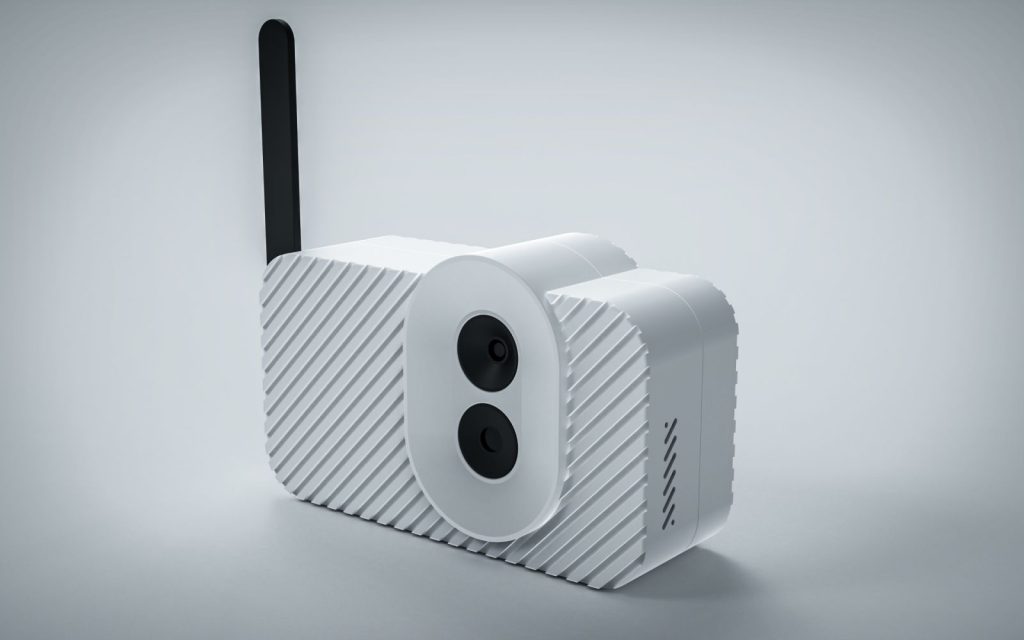
CityZcan bridges these gaps thanks to its portable, compact design and multiple built-in sensors, which enable frequent, flexible and repeated measurements over time. It thus facilitates the transition between transient (simultaneous) and continuous (time series) observations, enabling more accurate mapping of the urban microclimate.
Sensors
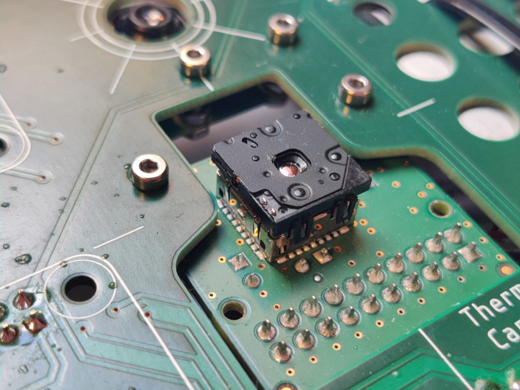
Flir Lepton 3.5
The thermal camera records infrared radiation in the 8–14 µm spectral range, providing spatially resolved images of surface temperatures. These images are essential for identifying localised heat accumulation on roads, pavements, and building façades.
Not only do thermal images enable the identification of heat-absorbing surfaces, they also reveal the thermal dynamics of built structures, thereby supporting climate-conscious urban planning.

RPi Camera v3
Albedo values estimated based on reference images taken in the visible range contribute to understanding surface temperature and radiation balance, especially in the case of heterogeneous urban surfaces.
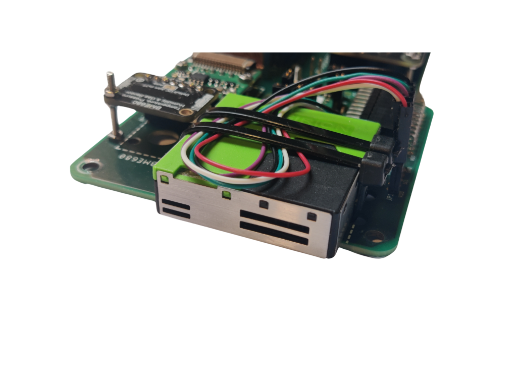
SPS30
The SPS30 sensor provides detailed data on particle concentrations. These concentrations are important indicators of air quality and also play a role in atmospheric radiation forcing.
The interaction of particles with solar radiation, as well as the contribution of particles to the surface area available for condensation, has the potential to influence the distribution of heat within urban areas. This influence can result in alterations to local temperature profiles.
When employed in conjunction with thermal imaging and a BME680 sensor, the SPS30 can facilitate the discernment of correlations between pollution levels and temperature anomalies, thereby offering insights into the manner in which air quality influences the urban heat island, and, in certain instances, serves to intensify its effects.

BME680
The BME680 sensor has been developed to measure ambient temperature, relative humidity, atmospheric pressure and gas concentrations, including VOCs. These factors influence the local thermal environment and human thermal comfort.
This sensor is of crucial importance, as the perceived air temperature is not solely dependent on the surface temperature. Atmospheric conditions, including humidity and pollutant concentrations, have the capacity to enhance or mitigate the effects of heat stress.
In urban environments, where the microclimate can vary significantly even over short distances, the integration of these environmental parameters is crucial for understanding and predicting UHI effects.
Focusing on pedestrians
Research focusing on pedestrians has revealed that integrating wearable sensor boxes can provide location-specific microclimate data, thereby ensuring the accuracy of environmental impact measurements.
This approach is particularly valuable in urban areas, where fixed observation systems and vehicle-based survey methods cannot detect the nuances of human heat stress in narrow streets or inner-city parks.
High temporal resolution in such circumstances facilitates mapping periodic heat phenomena and identifying urban elements or land cover types that contribute disproportionately to the overall heat load.
Public involvement in combating urban heat islands (UHI)
A community-based approach enhances the impact of this data by involving citizens in the observation process. When residents are equipped with portable sensor boxes or data collected during community sensing campaigns is shared publicly, city dwellers become active participants in strategies to improve local environmental health and mitigate the urban heat island effect.
Widespread access to environmental data promotes social awareness and supports community-based initiatives aimed at urban resilience.